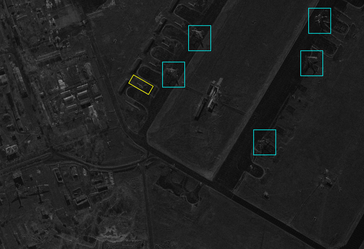
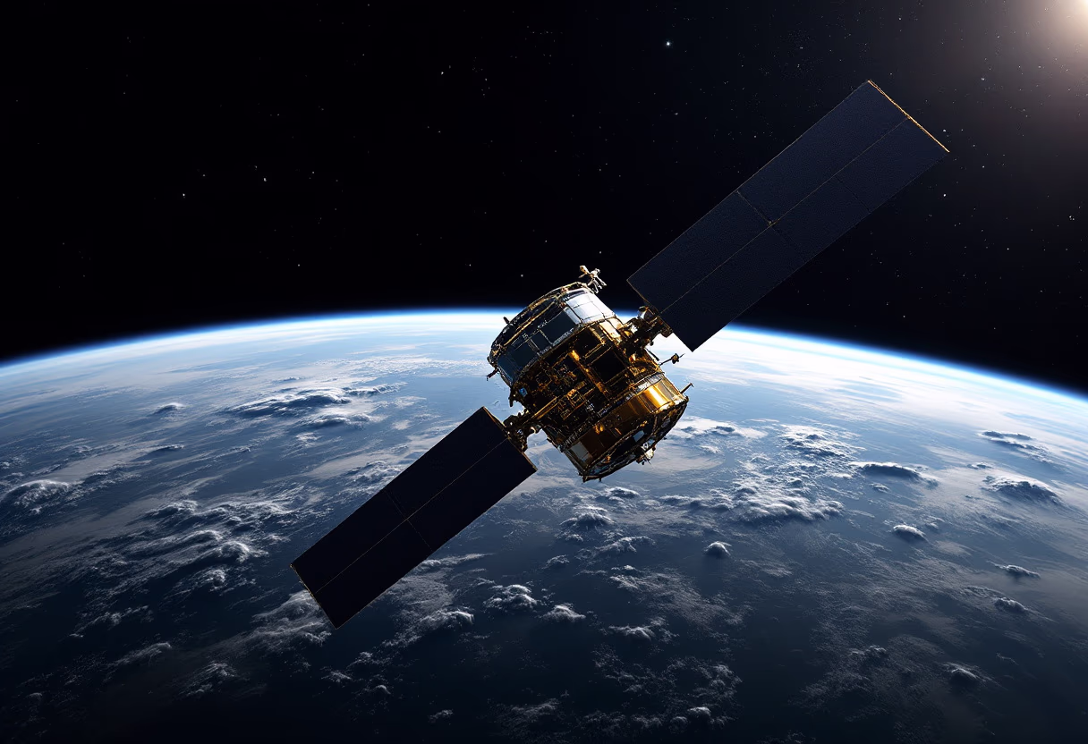
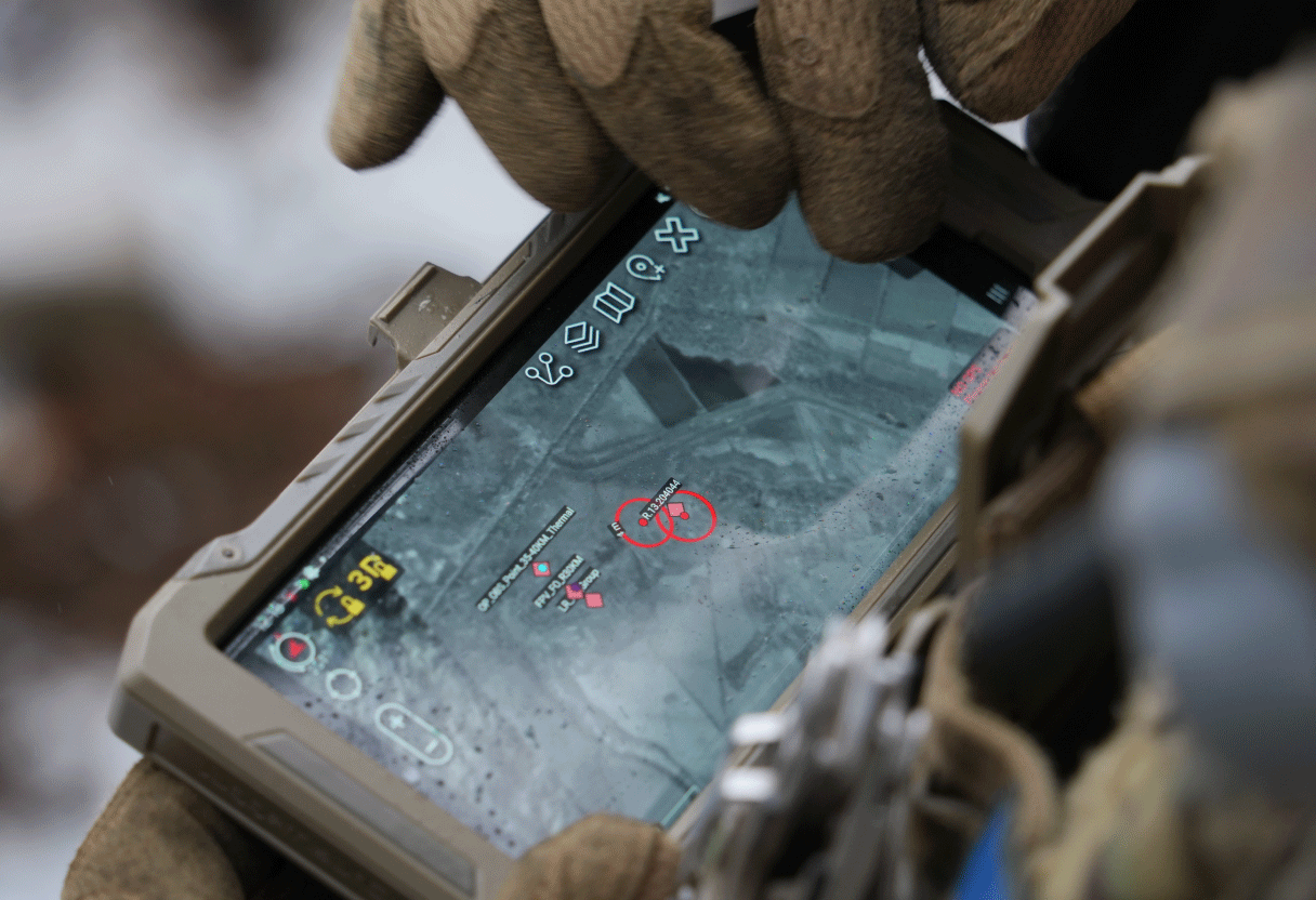
Operational intelligence. Delivered.

Actionable geospatial insight. Instantly.

Empowering defence and security teams with real-time satellite intelligence for mission-critical decisions. Integrate advanced GEOINT, rapid imagery, and AI-driven analysis—where and when it matters most.

image of a satellite orbiting earth (for space tech)
precision agriculture map overlay

Mission-ready intelligence, zero delay

Operational geospatial intelligence and satellite support for industry, government, and security. Explore our core capabilities built for mission-critical environments.

Close satellite support

On-demand satellite tasking and rapid imagery for real-time mission planning and operational execution.

image of a satellite orbiting earth (for space tech)
image of a traffic control center

GEOINT objective integration

Full-spectrum imagery processing, change detection, and intelligence reporting for situational awareness.

image of mission control room (for a space tech)

AI-enhanced SAR analysis

All-weather analytics to detect terrain shifts, threats, and key features for decisive action.

Battlefield system integration

Unified GEOINT and sensor data for a single, intelligence-driven operational view.

precision agriculture map overlay

Relied on by operational leaders

Trusted intelligence. Real-world results.

Defence Agency, UKR

Bravo1Alpha’s rapid GEOINT delivery is integral to our mission planning. Their operational expertise ensures we have actionable intelligence when it matters most.

National Security Directorate

Satellite support is consistently precise and dependable. Their solutions are now essential for our situational awareness and operational readiness.

Strategic Operations Command

Integrating real-time geospatial data has elevated our command systems, enabling faster, more informed decisions across all mission phases.

Critical Infrastructure Group

Advanced analytics and advisory support have strengthened our risk assessment, enabling rapid, informed responses to emerging threats.

Mission-critical service FAQs

Clear answers on GEOINT, delivery, and pricing for operational users.

Mission-ready GEOINT. Immediate access.

Subscribe for critical GEOINT briefings.

Success. You’re on our priority list.
Submission failed. Try again.

Get the latest operational intelligence.