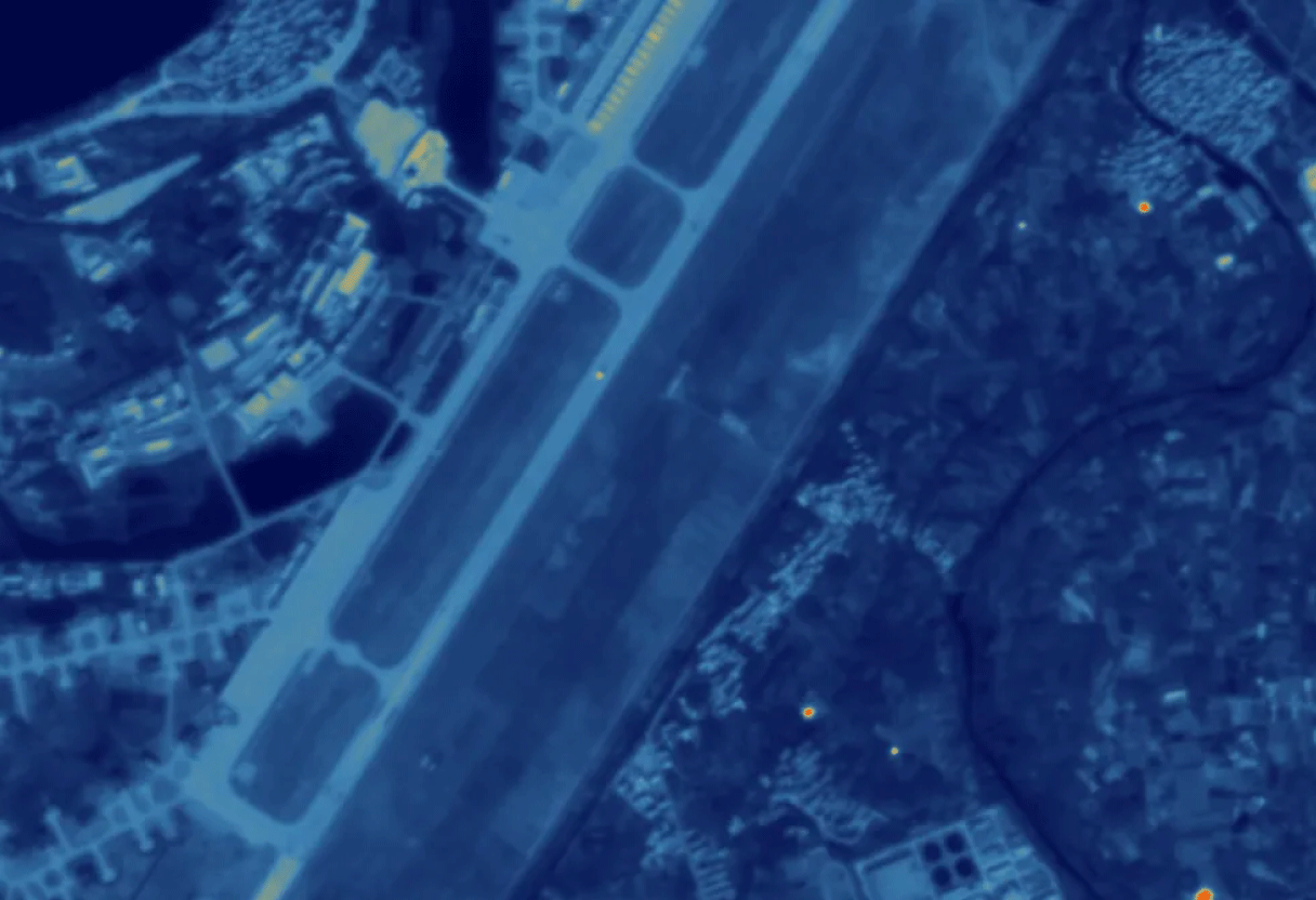
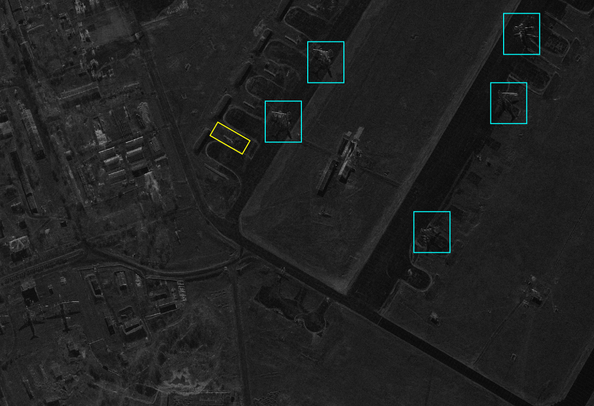
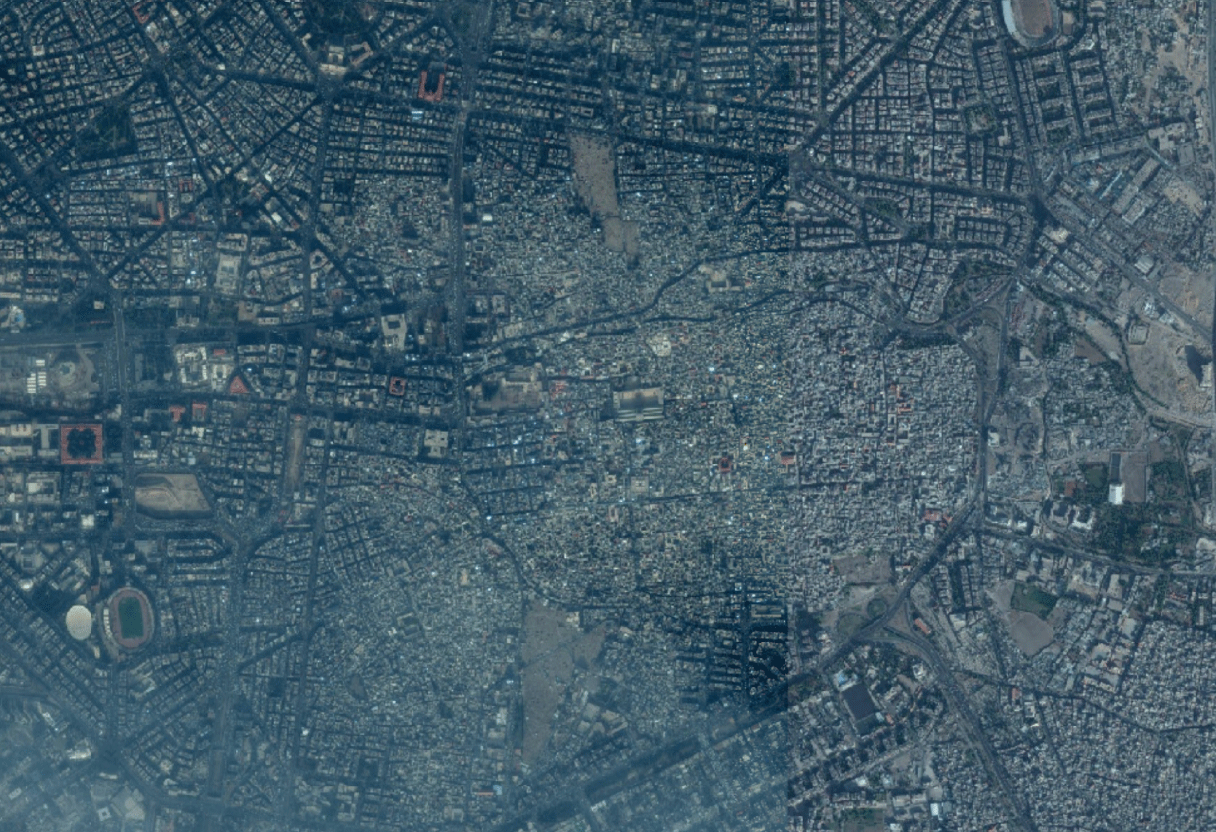
We turn strategic satellite assets into a tactical tool Units can actually utilise on operational and tactical level. Our Close Satellite Support (CSS) brings live, taskable GEOINT directly into the hands of operators, JTACs, from J2 to S2 and operators / decision-makers on ground in operations.

CSS strengthens ISR and TA by delivering fresh satellite imagery, 3D terrain data and rapid analysis directly to operators. This enables faster target development, clearer situational awareness and more precise execution across dynamic mission environments.


Operational excellence
B1A integrates ISR drones and FPVs into ATAK, using GEOINT data to plan accurate flight paths and improve mission awareness.
Connect with our experts to discuss tailored GEOINT solutions for your operational needs.
